

Measured surveys and 3D laser scanning in London
Laser-scanned measured surveys for planning applications, architects and interior and graphic designers. We capture the property with the Leica BLK360 and drone photography, supply the registered point cloud in the format you need, and prepare CAD drawings and Revit models from the scan.
- For architects and designers
- 3D laser scanning
- Drone aerials
- Point clouds · CAD · Revit
On site
Everything captured in a single visit
One visit gives you a complete, measured record of the property, inside and out.
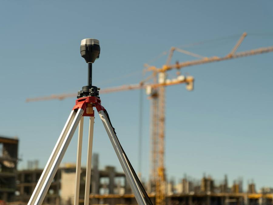


Our equipment
Surveyed with the Leica BLK360
Every survey is captured with the Leica BLK360, the imaging laser scanner from Leica Geosystems that is widely used by architects, engineers and surveyors.
- 360° capture. At each scan position the BLK360 measures the surrounding space in three dimensions and takes HDR panoramic photographs, which give the point cloud its colour.
- Measured as built. Walls that are out of square, changes in floor and ceiling level, openings, beams and services are recorded as they are, to within a few millimetres, not as shown on old plans.
- Registered and checked. The individual scans are aligned into one point cloud of the whole property, and the alignment is checked for accuracy before any data or drawings are issued.
How it works
From estimate to delivery
A straightforward process, with all of your survey data delivered in a single package.
-
1
Request an estimate
Use our calculator for an estimated price and send us your details. We review your property, confirm the quote and arrange a survey date.
-
2
Full site survey
Our surveyor attends site and surveys the entire property and its boundaries with 360° Leica BLK360 scanning, together with full photography, video and drone aerial photographs.
-
3
Delivery
You receive what you ordered: the registered point cloud in your chosen format, CAD drawings prepared from it, a Revit model, or the full package.
Point cloud deliverables
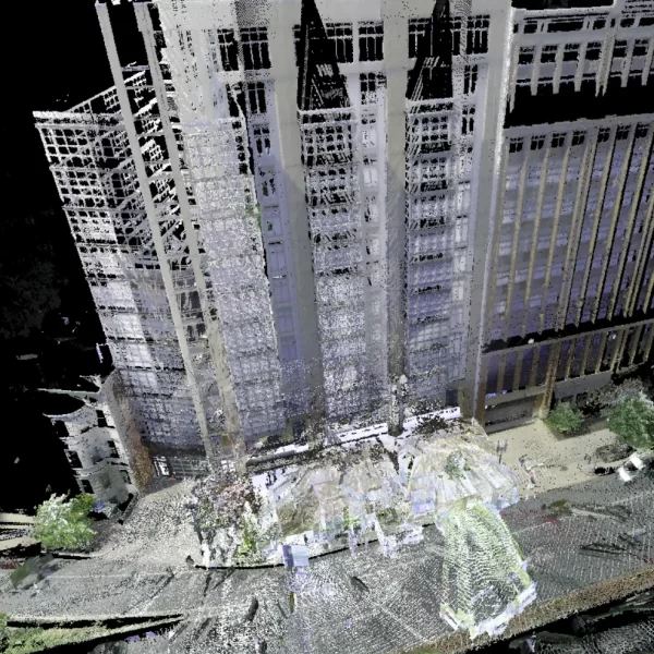
Point cloud data you can measure from
The point cloud is a full 3D record of the property made up of millions of measured points. Rather than relying on a set of dimensions, you or your designer can take any measurement, at any height, without returning to site. We export the registered scan in the format your software uses.
- RCP
- Autodesk ReCap project. Opens in ReCap and can be attached in Revit, AutoCAD and Navisworks.
- LGS
- Leica's single-file format, holding the point cloud together with the panoramic images from each scan position, for use in Leica software.
- E57
- The open industry format, readable by most point cloud software.
- RCPPoint cloud
- LGSPoint cloud
- E57Point cloud
- DWGCAD drawings
- RVTRevit model
- JPGAerials and photos
CAD drawings and Revit models are drawn by our team from the point cloud, to the scale and level of detail you specify.

Packages
Choose the package you need
Point cloud
The registered Leica BLK360 scan, exported as RCP, LGS or E57, ready to load into your software.
Drawings and models
Floor plans, elevations, sections and roof plans drawn from the point cloud as DWG and PDF, or a Revit model built from the scan.
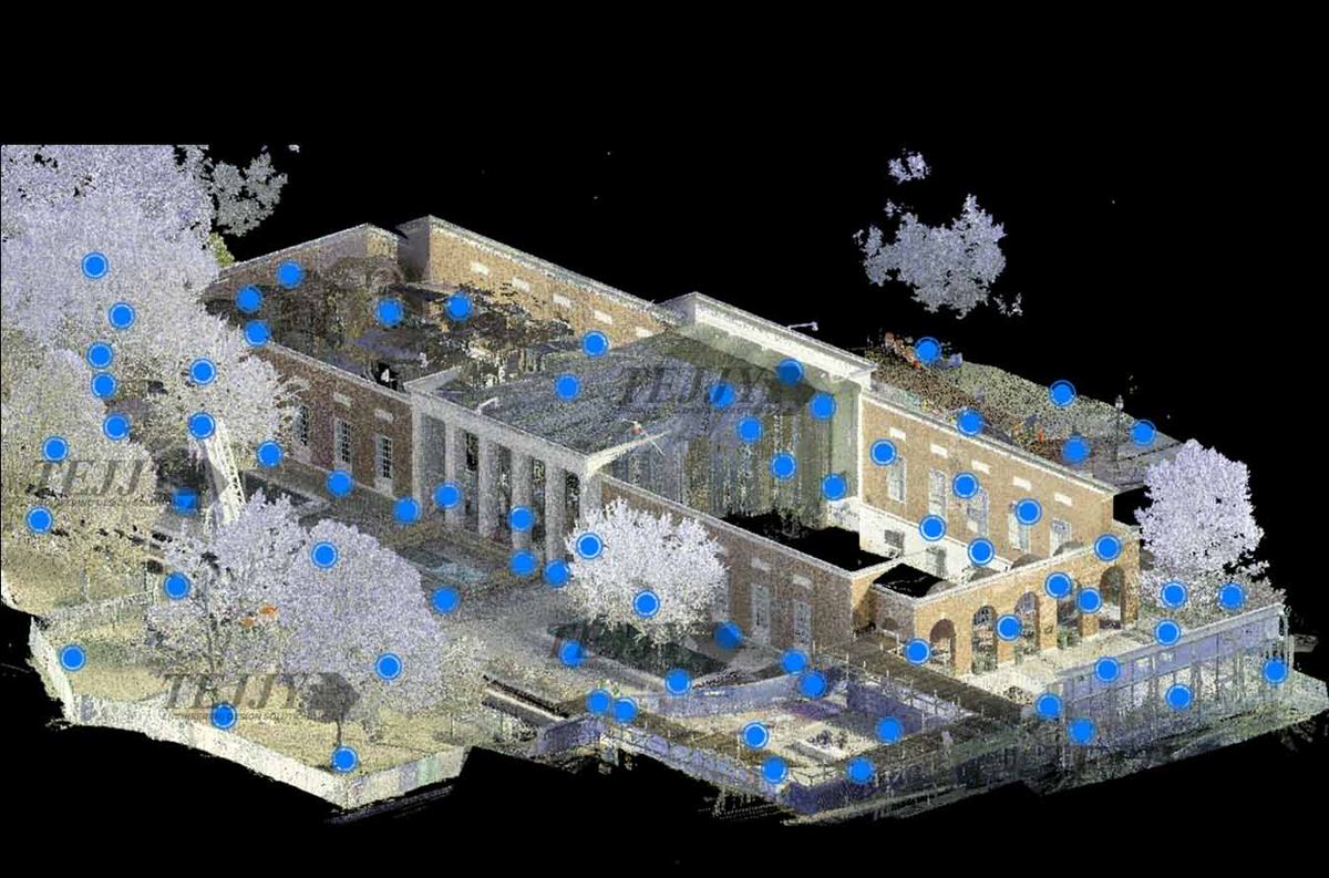
The full package
Point cloud, drawings, drone aerials and site photographs in one package for your architect, designer or contractor.
Estimated survey quote
Get an approximate price for your measured survey in under a minute.
Who we survey for
Measured surveys for architects, interior designers and graphic designers
Architects
Accurate existing drawings for planning applications, and point cloud data to design and model from. Surveys for planning · 3D laser scanning
Interior designers
A point cloud of the whole space, so you can take any dimension, from wall lengths and ceiling heights to window positions and services, without returning to site. Surveys for interior designers
Graphic designers
The registered point cloud and panoramic images, supplied in a format your software can open.
Owners, landlords and agents
Accurate plans and areas for planning, refurbishment and leasing.
For designers and architects
Survey and planning support for your projects
If you are an interior designer, architect or graphic designer, we can survey your projects, supply the data in the formats your studio uses, and take on the planning application when a design needs consent.
Survey questions
Measured survey FAQs
Do you carry out measured surveys for interior designers?
Yes. We scan the whole space with the Leica BLK360 and supply the point cloud, with drawings if you need them, so you can design to exact dimensions without revisiting the property.
Do you survey for architects and graphic designers?
Yes. For architects we provide accurate existing drawings for planning applications and point cloud data to design and model from. Graphic designers receive the registered point cloud in a format their software can open.
Which files will I receive?
The registered point cloud as RCP (Autodesk ReCap), LGS (Leica) or E57, plus site and drone photographs. CAD drawings (DWG and PDF) and Revit models are prepared from the point cloud as a separate service. You choose what you need when you order.
Can I open the point cloud in my design software?
An RCP file opens in Autodesk ReCap and loads directly into Revit, AutoCAD and Navisworks. If you work in other software, tell us when you enquire and we will advise on the most suitable format.
How accurate is a laser-scanned measured survey?
The Leica BLK360 measures to within a few millimetres, recording walls, openings, ceilings and features as built rather than as shown on old plans. Each survey is checked for registration accuracy before anything is issued.
Which areas do you survey?
We carry out measured surveys across London. Use the estimate calculator above for an approximate price.